Our plastic pollution crisis is too big for recycling to fix. It’stime to #actforthefuture #bergerakuntukmasadepan
JAKARTA, Indonesia — In a new effort to harness technology for disaster preparedness, researchers in Indonesia are developing a satellite-based remote sensing platform capable of detecting early signs of impending floods, landslides and other hydrological hazards.
RELEVANT SUSTAINABLE GOALS


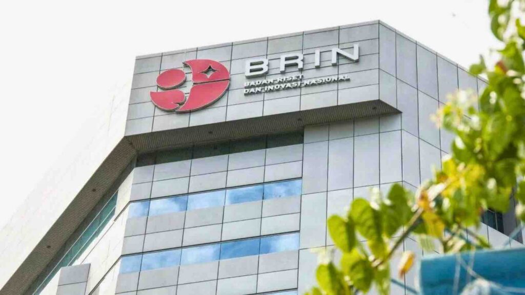
The system, called Geomimo, short for Geoinformatics Multi-Input and Multi-Output, will collect data streams from multiple satellites that can then be rapidly processed and analyzed to produce detailed risk assessments and hazard maps, according to scientists at the National Research and Innovation Agency.
“Geomimo will be a vital tool for water resources management and disaster mitigation, both in Indonesia and globally,” said Rokhis Khomarudin, head of the agency’s Geoinformatics Research Center, which is leading the project’s development.
Strengthening the disaster resilience of indonesian cities
The vast Indonesian archipelago, with over 17,000 islands stretching across 3,000 miles, is highly vulnerable to climate change-driven disasters like rising sea levels, intense rainfall and catastrophic flooding. Compounding the challenge is the country’s immense geographic diversity, from densely populated urban areas to remote inland valleys.
Conventional methods of hazard monitoring, often relying on limited ground sensors and rain gauges, have frequently fallen short in providing early warnings to communities in the crosshairs. The Geomimo platform aims to overcome those gaps by integrating multiple sensor inputs, including data from orbiting satellites, aerial drones, underwater sensors and crowd-sourced field observations.
Pulling from this “multi-input” stream, researchers will employ artificial intelligence and rapid data processing to generate frequently updated risk analyses across several categories — flood modeling, landslide monitoring, food security assessments, greenhouse gas tracking and long-term environmental impacts.
“The key is harnessing all these disparate data sources in real time to provide situational awareness and predictive tools that can help save lives,” said Khomarudin, whose team will collaborate with government agencies and local communities.
Geomimo
Geomimo is an outgrowth of Indonesia’s National Space Program, established in the 1960s, which has enabled the nation’s space research institute, LAPAN, to operate a fleet of Earth observation satellites. Yet inefficient data sharing between agencies and outdated software have impeded their full potential.
With international climate funding, the $14 million Geomimo initiative seeks to overcome those hurdles with a unified platform that can seamlessly process data streams into actionable disaster intelligence.
If successful, officials envision Geomimo becoming a vital tool across Southeast Asia and other regions grappling with worsening climate hazards. At a time when global warming is amplifying extreme rainfall and flood risks worldwide, rapidly detecting potential hotspots could prove increasingly crucial.
You may also be interested in :
PLN’s Innovation : Transforming Electric Poles Into EV Charging Stations Across Jakarta


