Harnessing satellite imagery to build climate resilience for Indonesia’s seaweed farmers.
As climate unpredictability becomes the norm, industries globally are grappling to devise resilience strategies. Among these, Indonesia’s seaweed farming sector is particularly vulnerable, where seasonal aberrations could spell disaster for tens of thousands of livelihoods.
Introducing the newest member of Griffith Agribusiness, Dr. Zannie Langford, who has launched a pioneering project aimed at strengthening climate resilience for Indonesia’s seaweed farmers amid the mounting challenges of climate change
RELEVANT SUSTAINABLE GOALS


Revolutionizing Seaweed Farming: Dr. Langford’s Satellite Solution
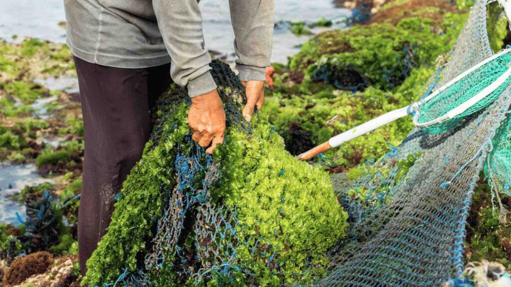
Seaweed farming, Indonesia’s most significant marine aquaculture industry, is perpetually at risk due to the fluctuations in oceanic conditions and rainfall’s impact on production. As weather patterns become increasingly unpredictable, large-scale seaweed mortality and significant product losses loom large. This climate menace threatens the livelihoods of 62,000 coastal households presently engaged in seaweed farming.
Dr. Langford has secured a grant from the Department of Foreign Affairs and Trade’s Knowledge Partnership Program. Her innovative project aims to employ satellite imagery for seaweed mapping, a groundbreaking move in assessing climate resilience.
The proposed research employs computer vision and machine-learning tools to analyze satellite imagery, thereby monitoring seaweed production. Additionally, the study will conduct ground-truthing of production estimates using oceanographic measurements and farm production logs.
Another crucial aspect of this research will delve into the community’s perception of climate variability and their resilience strategies, intending to identify potential interventions.
According to Dr. Langford, the consequences of climate change on seaweed production extend beyond the farmers. “It also impacts thousands of wage laborers responsible for attaching seaweed to ropes. These are often women with caring responsibilities, elderly individuals, and other vulnerable groups,” she said.
Despite the industry’s significance to coastal livelihoods, the absence of accurate national production data by location and month hampers evidence-based policy-making. “Satellite imagery is a well-established tool for monitoring land-use change but hasn’t been fully utilized for marine aquaculture,” Dr. Langford points out.
Her multidisciplinary team, equipped with expertise in machine learning, agricultural economics, remote sensing, qualitative and quantitative social research, and applied biophysical research, is poised for an integrated approach to address this issue.
Additionally, the project serves as a training platform for six new junior researchers from Maluku, East Nusa Tenggara, and South Sulawesi, honing their skills in social research methodologies.
Dr. Langford’s previous research portfolio includes land tenure, global value chains, smallholder agribusiness, and rural development financing. With her latest project, she is poised to apply technological advances to safeguard one of Indonesia’s most vital industries against the harsh realities of climate change.
Lead image courtesy of Joakimbkk from Getty Images Signature.
You may also be interested in :
Mapping Blue Carbon : The Collaborative Efforts Of The Nature Conservancy And Planet Labs


