
UNDP Disaster Recovery
Satellite Imagery Guides Faster Recovery in Crisis Zones
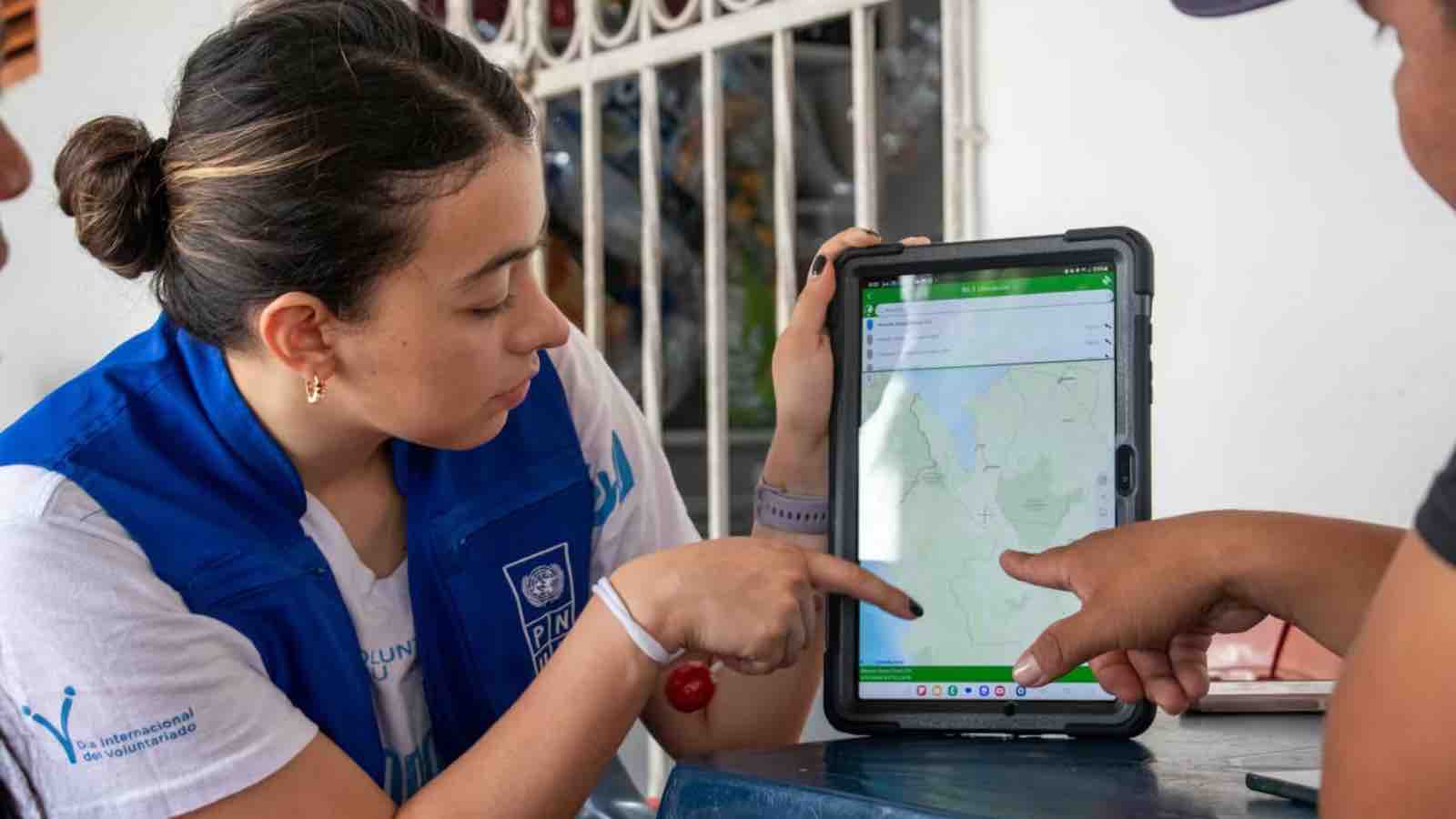
“Satellite imagery and geospatial analysis become transformative when it informs concrete planning and programming decisions in an early and dynamic manner,” said Michelle Gyles-McDonnough, UNITAR’s Executive Director. FOLLOW THIS TOPIC…