
If you ever find yourself on Macquarie Island – a narrow, wind-lashed ridge halfway between Tasmania and Antarctica – the first thing you’ll notice is the wildlife. Elephant seals sprawl across dark beaches. King penguins march up mossy slopes. Albatrosses circle over vast, treeless uplands.
But look more closely and the island is changing. Slopes are becoming boggier. Iconic megaherbs such as Pleurophyllum and Stilbocarpa are retreating.
For years, scientists suspected the culprit was increasing rainfall. Our new research, published in Weather and Climate Dynamics, confirms this – and shows the story goes far beyond one remote UNESCO World Heritage site.
A major – but little observed – climate player
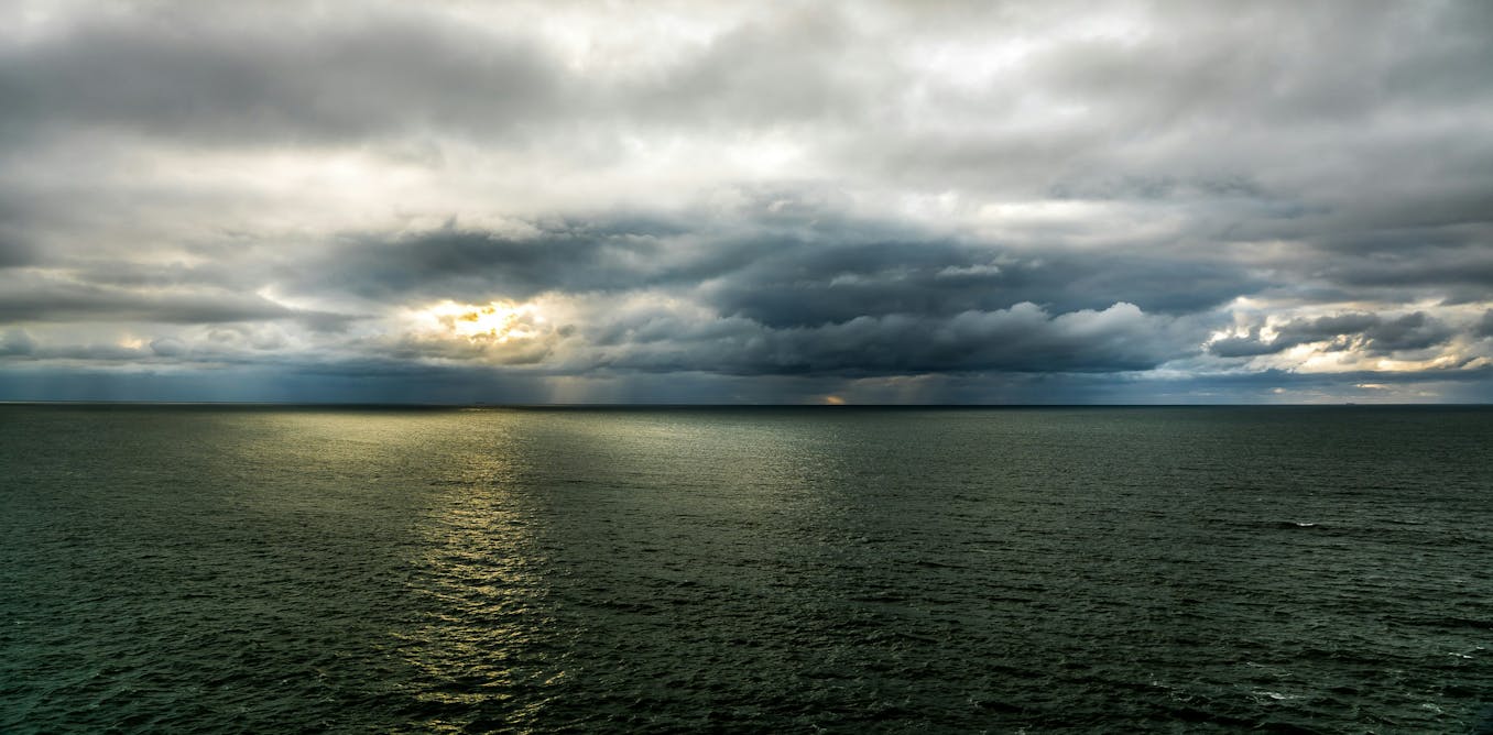
The Southern Ocean plays an enormous role in the global climate system.
It absorbs much of the excess heat trapped by greenhouse gases and a large share of the carbon dioxide emitted by human activity.
Storms in the Southern Ocean also influence weather patterns across Australia, New Zealand and the globe.
Yet it is also one of the least observed places on Earth.
With almost no land masses, only a handful of weather stations, and ubiquitous cloud cover, satellites and simulations struggle to capture what is actually happening there.
That makes Macquarie Island’s climate record from the Bureau of Meteorology and the Australian Antarctic Division exceptionally valuable, providing one of the very few long-term “ground truth” records anywhere in the Southern Ocean.
These high-quality records of the observed daily rainfall and meteorology date back more than 75 years and are commonly used to validate satellite products and numerical simulations.

Rising rainfall
Earlier work has found rainfall at Macquarie Island had risen sharply over recent decades, and ecologists documented waterlogging that harms native vegetation.
But no one has explained how the island’s weather patterns are changing, or directly compared the field observations to our best reconstructions of past weather to assess Southern Ocean climate trends.
To fill this gap, we analysed 45 years (1979–2023) of daily rainfall observations and compared them to a widely used reconstruction of earlier weather, known as the ERA5 reanalysis.
We wanted to understand the meteorology behind the increase in rainfall – that is, whether it was caused by more storms or more intense rainfall during storms. To do this we placed each day in the dataset into one of five synoptic regimes based on pressure, humidity, winds and temperature.
These regimes included low pressure systems, cold-air outbreaks and warm-air advection (the warm air that moves poleward ahead of a cold front).
Storms are producing more rain
Our analysis showed that annual rainfall on Macquarie Island has increased 28% since 1979 – around 260 millimetres per year.
The ERA5 reanalysis, in contrast, shows only an 8% increase — missing most of this change.
The storm track’s gradual move toward Antarctica is well established, and our results show how this larger change is shaping Macquarie Island’s weather today.
Crucially, we found that these changes are not causing the increase in rainfall, as one wet regime (warm air advection) was largely replacing another (low pressure).
Instead, storms now produce more rain when they occur.

Why does this matter beyond one island?
If the rainfall intensification we see at Macquarie Island reflects conditions across the Southern Ocean storm belt – as multiple lines of evidence indicate — the consequences are profound.
A wetter storm track means more fresh water entering the upper ocean. This strengthens the different layers in the oceans and reduces the amount of mi
Read More